
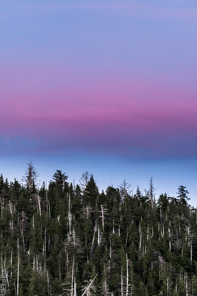
Bright Skies

The first week out on the Passing Cloud was mostly overcast, though often the skies were quite bright.
This example is taken in Hecate Strait looking SW along the coast of Lyell Island (link to map).
(more…)
SGang Gwaay II

A mortuary pole at SGang Gwaay, visited while touring on the Passing Cloud.
SGang Gwaay is a UNESCO World Heritage Site located on the south west side of Gwaii Haanas (map link).
If you want to know more about SGang Gwaay I have written about it in several posts (link) from previous visits.
(more…)
Risso’s III
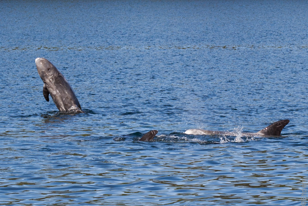
While working on the Passing Cloud I photographed a couple of encounters with Risso’s dolphins.
This shot is from a group of about 30 dolphins that included many calves, one of which is visible in the middle of this shot.
This photograph is from the south end of Burnaby Narrows.
(more…)
All Alone

While on the Passing Cloud in Gwaii Haanas one of the passengers had to leave unexpectedly mid-way through the tour.
She departed alone, leaving her travel companion on board to finish the tour.
Here she is being delivered to the float plane in Juan Perez Sound.
To the left is All Alone Stone, an isolated peak rising from the seafloor.
(more…)
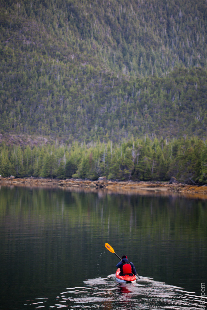
Narrows Sunset
While on the Passing Cloud in Gwaii Haanas we visited Burnaby Narrows (Dolomite Narrows) a couple of times.
This is at sunset, taken from the anchorage at the south end of the narrows near Bag Harbour.
(more…)
De La Beche III
Sunrise at anchor on the Passing Cloud in De La Beche Inlet.
This is another take on this scene from the one I published last month as De La Beche.
(more…)
Top Posts & Pages – Click Thumbnail To View


Recent Comments
♦ FUJITA (藤田光学工業) H.… on Fujitar P.C 35mm F2.5 Asahifle… ehpem on Child’s Grave Kyle Hoyt on Child’s Grave ehpem on Charles Elliott Pole, Universi… Lisa Kadonaga on Charles Elliott Pole, Universi…
